Legend& Layer

Digital mapping studio

Legend & LayerBring your place story to life.

Maps that tell the story.

I turn causes, passions, and real needs into interactive digital maps people can explore. If you have a project that deserves a clearer map story, I would love to hear about it.

Stories

Stories in the wild

A few live examples of digital map storytelling. Open any project to explore the full app, then get in touch if something like this would serve your work.

Historical place narrative

Farina: Being Made Again

What if you could stand in a faded outback town and see what was planned, what remains, and what might have been?

An interactive map of Farina, South Australia: documented rise and decline, today's restoration sites, and a careful what-if of a town that thrived. Actual history, present trails and ruins, and an alternate story, layered so readers explore at their own pace.

  • Historical narrative
  • MapLibre
  • Then / Now / What if
  • Open sources

Community conservation story

StoryMapOpen app →

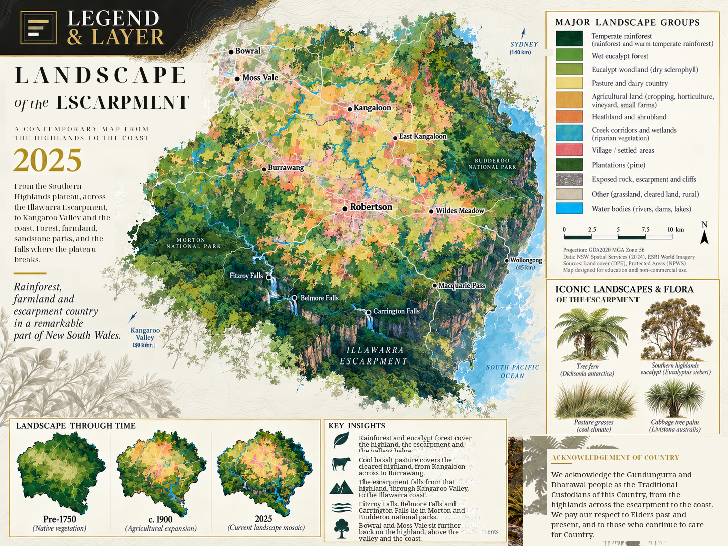
Robertson Rainforest

How do you help people care about five hectares of remnant rainforest without turning neighbours into targets?

A shareable StoryMap spine: LOSS to KEPT to LIFE to CARE to RESPECT. Real NSW spatial evidence, plain language, and opportunities for conversation. Never acquisition maps or demands on private land.

  • Community story
  • Conservation
  • NSW open data
  • LOSS to CARE

Public-interest investigation

Southern Highlands Road Safety

Where should a council look first when crash history and limited exits start telling the same uncomfortable story?

A mapped investigation shortlist for Wingecarribee: NSW crash evidence joined to network choke-points, packaged for briefing, not a finished works program. The product is clarity for public conversation, not a survey plan.

  • Investigation story
  • Crash data
  • Network egress
  • Council brief

Apollo heritage map

Moon Trees

Where are the living Apollo 14 Moon Trees still rooted on Earth?

A dark-map dashboard of known living Moon Trees from NASA's public list: filter by species, search by place, and fly to approximate city or site locations. Popups carry planting notes and a simple species visual. Locations are approximate because exact coordinates are not published for every tree.

  • Apollo 14
  • NASA open list
  • Heritage story
  • Leaflet

Shoreline change story

Popham Beach Erosion

What does it look like when a Maine beach and a fidgety tidal river trade places over a decade?

Drag across real Esri Wayback imagery to watch dunes, spit, and the Morse River rearrange between 2014 and 2026. A place story about restless sand, public park edges, and why dunes are infrastructure, not scenery.

  • Coastal change
  • Before / after
  • Esri Wayback
  • Maine

Approach

How a digital map story comes together

My focus is interactive digital map stories for the web: maps people can explore, share, and feel at home in. If you are looking for print cartography or survey-style deliverables, I am happy to point you toward someone who specialises in that.

  1. 01

    Start with your question

    What should someone feel or understand about this place? We begin with your cause, campaign, or curiosity, then shape the map around that story.

  2. 02

    Gather the evidence

    Open data, archives, field notes, and careful geometry. Each layer earns its place by helping the reader follow the narrative.

  3. 03

    Shape the telling

    Sequence, contrast, and pace: then and now, loss and hope, what if. Readers move through meaning, not just zoom levels.

  4. 04

    Ship a living digital map

    An interactive web map, StoryMap, or editorial embed your audience can share and explore, built for the screen.

About

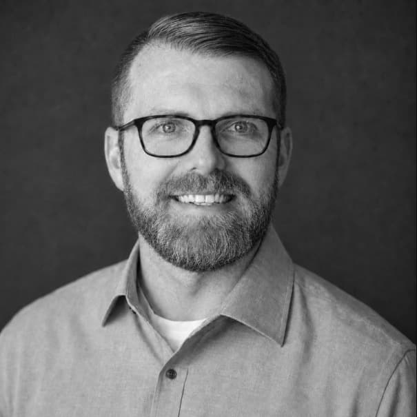
Eric Raszewski

Founder · Legend & Layer · Based in NSW, Australia

I build interactive digital maps that help people understand the places they care about. History, ecology, community, access: the stories that sit in a landscape and ask to be told with care.

I do this because a clear map can make someone feel seen, help a neighbour understand what is at stake, or give a small organisation a way to share their work without drowning people in jargon. Place matters. The people connected to it matter. The map should honour both.

Alongside Legend & Layer, I am building MapOps, tools for day-to-day spatial work when teams need maps that support decisions, not just stories.

If you have a cause, a passion project, or a place that needs telling, I would love to hear from you. We can talk through how a digital map might bring it to life.

Community

Groups I am part of

I stay close to the open mapping and geospatial community. These are organisations I am involved with and glad to support.

Toolkit

Tools I build with

The stack behind Legend & Layer stories and day-to-day spatial work: from field-ready GIS to interactive web maps.

Contact

Tell me about your project

Whether you are an editor, nonprofit, museum, community group, or someone with a place story that will not leave you alone, write in. Share the place, who it is for, and what you want people to understand. We will talk through whether a digital map story is the right fit.

Email hello@legendandlayer.com

Based in NSW, Australia